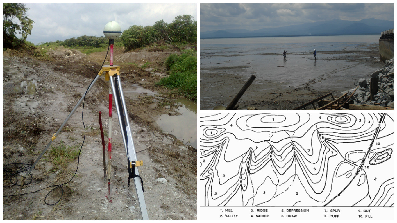
Topographic surveys are used to identify and establish contours of existing features on the surface of the earth. Topographic surveys on land may include hills, trees, fences, buildings, ravines and provides the exact figures of the size, height and position of different features whether is it manmade or natural features.
A survey in which to determine the relief of ground surface and the location of natural and artificial objects thereon by the use of survey Total Station and Target Prism.
Application: Site Survey, Submarine Pipeline/Cable Installation, Marine Construction, Civil Construction, Dredging Operations, Harbor Improvement.

