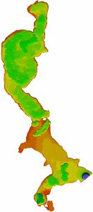
A survey to acquire the depths of sea, river, lake etc. thus to determines the shape of the seabed, riverbed or underwater ground. Generally conducted with satellite based Global Positioning System to determine the coordinates and Echo Sounder to determine the depth.
Application: Marine Construction, Dredging Operations, Harbors Improvement Submarine Pipeline/Cable Installation, Marine Research & Study


